Église Saint-Luc, Grenoble
Map

Map

Facts and practical information
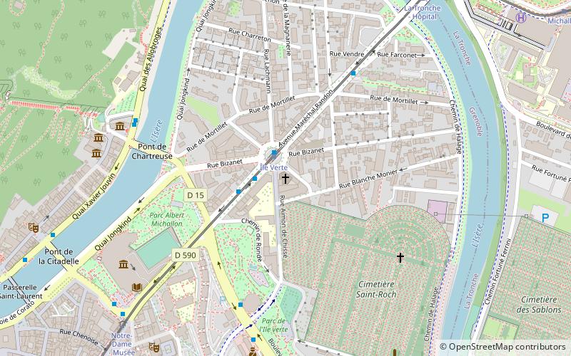
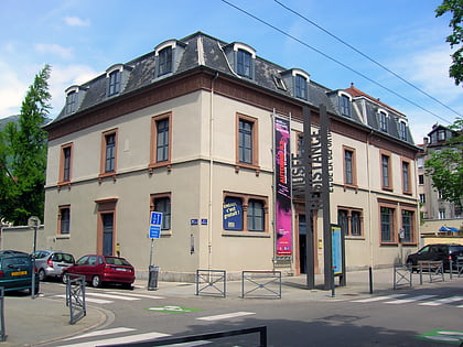
The Saint-Luc church in Grenoble was built in 1967 in the heart of the Île Verte district, at a time when the city of Grenoble was rapidly expanding.
The sale of this place of worship is being considered.
Coordinates: 45°11'48"N, 5°44'14"E
Address
Grand Quartier 2 (Île Verte)Grenoble
ContactAdd
Social media
Add
Day trips
Église Saint-Luc – popular in the area (distance from the attraction)
Nearby attractions include: Musée de Grenoble, Musée de la Résistance et de la Déportation à Grenoble, Bastille, Musée dauphinois.
Frequently Asked Questions (FAQ)
Which popular attractions are close to Église Saint-Luc?
Nearby attractions include Saint Roch Cemetery, Grenoble (5 min walk), Musée de Grenoble, Grenoble (7 min walk), Grenoble Archaeological Museum, Grenoble (8 min walk), Vestiges of the Gallo-Roman wall, Grenoble (10 min walk).
How to get to Église Saint-Luc by public transport?
The nearest stations to Église Saint-Luc:
Tram
Bus
Aerialway
Train
Tram
- Île Verte • Lines: B (1 min walk)
- Notre-Dame - Musée • Lines: B (9 min walk)
Bus
- Hôtel de Police • Lines: 16 (6 min walk)
- Saint-Laurent • Lines: 16, 62 (6 min walk)
Aerialway
- Bastille • Lines: Téléphérique de la Bastille (16 min walk)
Train
- Grenoble (31 min walk)


