Plage d'argent, Porquerolles
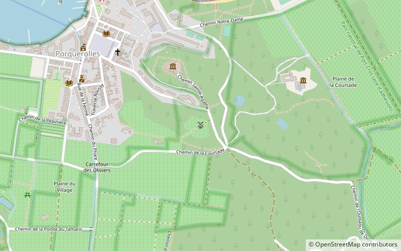
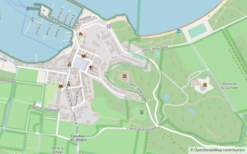
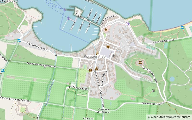
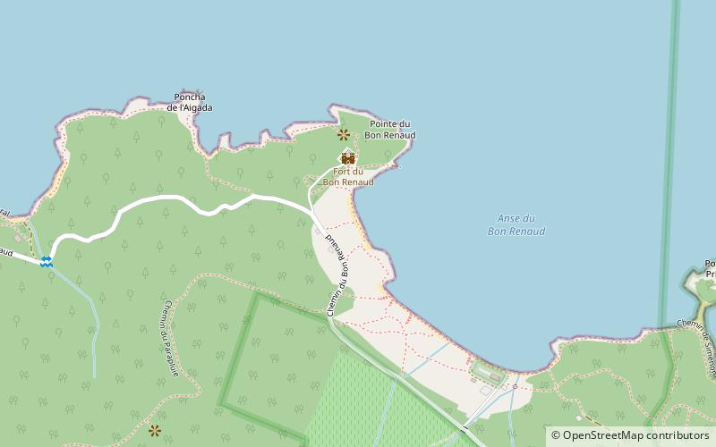
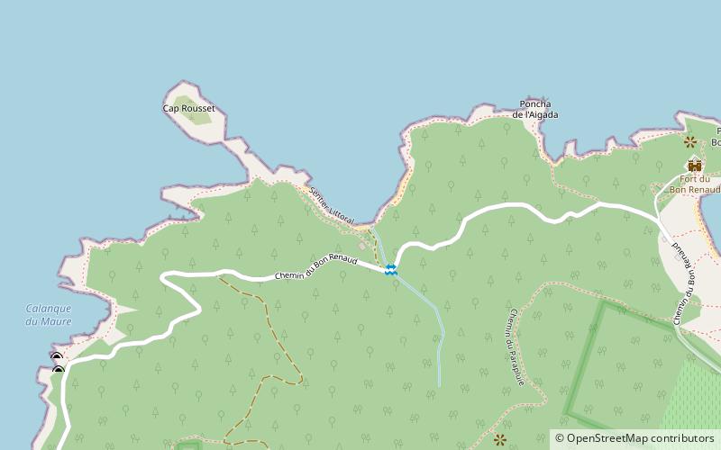
Map
Facts and practical information
Plage d'argent is a place located in Porquerolles (Provence-Alpes-Côte d'Azur region) and belongs to the category of beach, outdoor activities.
It is situated at an altitude of 13 feet, and its geographical coordinates are 43°0'17"N latitude and 6°11'14"E longitude.
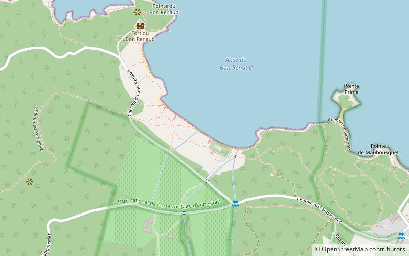
Among other places and attractions worth visiting in the area are: Plage du Bon Renaud (beach, 5 min walk), Plage de l'Aigadon (beach, 10 min walk), Plage de l'Aigade (beach, 15 min walk).
Coordinates: 43°0'17"N, 6°11'14"E
Address
Porquerolles
ContactAdd
Social media
Add
Day trips


Frequently Asked Questions (FAQ)
Which popular attractions are close to Plage d'argent?
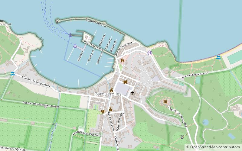
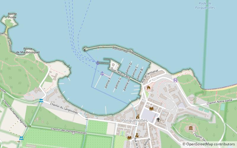
Nearby attractions include Plage du Bon Renaud, Porquerolles (5 min walk), Plage de l'Aigade, Porquerolles (15 min walk), Conservatoire botanique national méditerranéen de Porquerolles, Porquerolles (18 min walk), Port de Porquerolles, Porquerolles (19 min walk).