Place Denfert-Rochereau, Paris
Map

Gallery
Facts and practical information
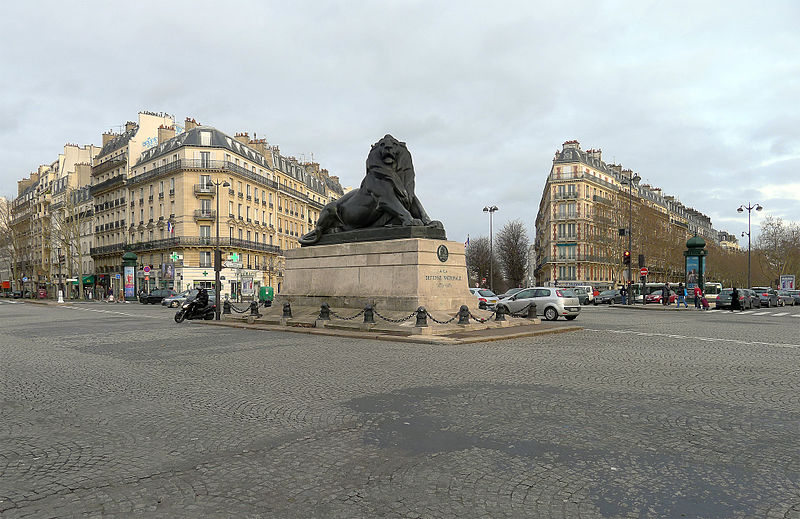
Place Denfert-Rochereau, previously known as Place d'Enfer, is a public square located in the 14th arrondissement of Paris, France, in the Montparnasse district, at the intersection of the boulevards Raspail, Arago, and Saint-Jacques, and the avenues René Coty, Général Leclerc, and Denfert-Rochereau, as well as the streets Froidevaux, Victor-Considérant and de Grancey. It is one of the largest and most important squares on the left bank of the Seine. ()
Address
24 Place Denfert RochereauObservatoire (Petit-Montrouge)Paris 75014
Contact
+33 1 43 21 41 01
Social media
Add
Day trips
Place Denfert-Rochereau – popular in the area (distance from the attraction)
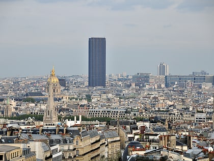
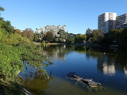
Nearby attractions include: Montparnasse, Tour Montparnasse, Catacombs of Paris, Parc Montsouris.
Frequently Asked Questions (FAQ)
Which popular attractions are close to Place Denfert-Rochereau?
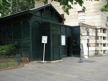
Nearby attractions include Catacombs of Paris, Paris (2 min walk), Barrière d'Enfer, Paris (2 min walk), 14th arrondissement of Paris, Paris (7 min walk), Paris Observatory, Paris (8 min walk).
How to get to Place Denfert-Rochereau by public transport?
The nearest stations to Place Denfert-Rochereau:
Bus
Train
Metro
Tram
Bus
- Denfert-Rochereau • Lines: 38, 59, 88, N21 (2 min walk)
- Denfert Rochereau • Lines: 64, 68, N14, OrlyBus (1 min walk)
Train
- Denfert-Rochereau (1 min walk)
- Port Royal (14 min walk)
Metro
- Denfert-Rochereau • Lines: 4, 6 (2 min walk)
- Saint-Jacques • Lines: 6 (5 min walk)
Tram
- Porte d'Orléans • Lines: T3a (20 min walk)
- Montsouris • Lines: T3a (21 min walk)

 Metro
Metro
