Saint-Donatien, Nantes
Map

Map

Facts and practical information
Local name: Basilique Saint-Donatien-et-Saint-Rogatien Completed: 1889 (137 years ago)Architectural style: Gothic revivalCoordinates: 47°13'45"N, 1°32'25"W
Address
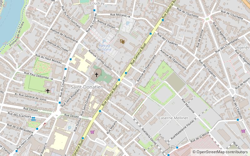
Place des Enfants NantaisSaint Donatien-Malakoff (Caserne Mellinet)Nantes 44000
ContactAdd
Social media
Day trips
Saint-Donatien – popular in the area (distance from the attraction)
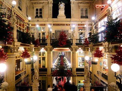
Nearby attractions include: Passage Pommeraye, Nantes Cathedral, Château des ducs de Bretagne, Tomb of Francis II.
Frequently Asked Questions (FAQ)
Which popular attractions are close to Saint-Donatien?
Nearby attractions include Vers l'infini, Nantes (14 min walk), Statue de Jules Verne, Nantes (15 min walk), Pont Général de la Motte Rouge, Nantes (15 min walk), St. Clement's Church, Nantes (16 min walk).
How to get to Saint-Donatien by public transport?
The nearest stations to Saint-Donatien:
Bus
Tram
Train
Ferry
Bus
- Saint-Donatien • Lines: Aléop 348, Aléop 360, C1, Lila 30, Lila 46, Lila 60, Lu (1 min walk)
- Desaix • Lines: Aléop 348, Aléop 360, C1, Lila 46, Lila 60, Lu (5 min walk)
Tram
- Motte Rouge • Lines: 2 (17 min walk)
- Manufacture • Lines: 1 (19 min walk)
Train
- Nantes (22 min walk)
Ferry
- Port Boyer • Lines: N3 (24 min walk)
- Petit Port Facultés • Lines: N3 (26 min walk)


