Agel
Map
Facts and practical information
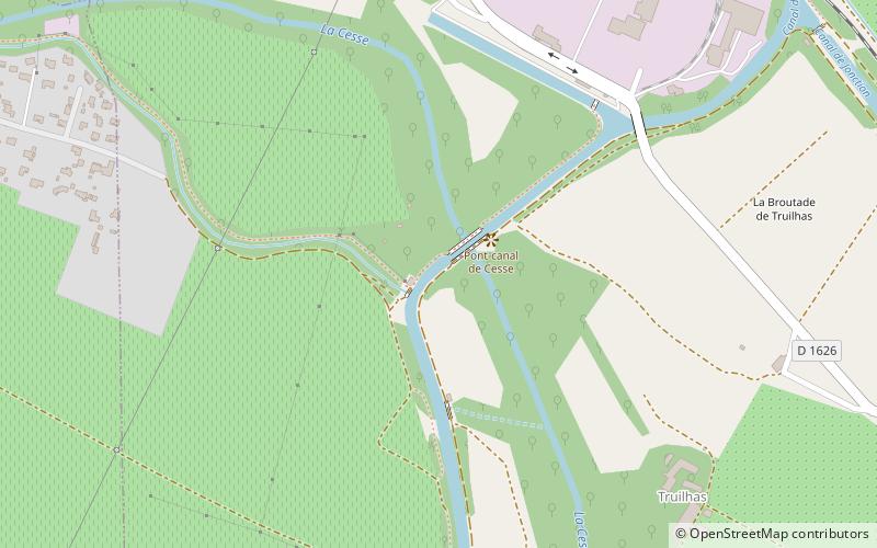
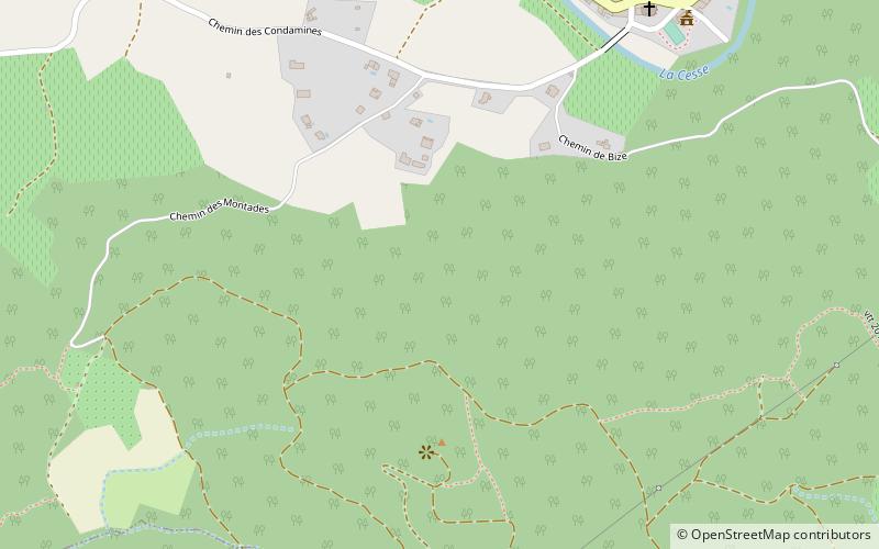
Agel is a commune in the Hérault department in the Occitanie region in southern France. ()
Location
Occitanie
ContactAdd
Social media
Add
Day trips
Agel is a commune in the Hérault department in the Occitanie region in southern France. ()
Occitanie
Where to next? Visit ![]() Occitanie region page or discover the top tourist attractions in France.
Occitanie region page or discover the top tourist attractions in France.