Évires
Map

Map

Facts and practical information
Évires is a former commune in the Haute-Savoie department in the Auvergne-Rhône-Alpes region in south-eastern France. On 1 January 2017, it was merged into the new commune Fillière. ()
Location
Auvergne-Rhône-Alpes
ContactAdd
Social media
Add
Day trips
Évires – popular in the area (distance from the attraction)
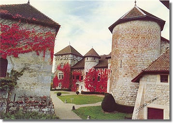
Nearby attractions include: Château de Thorens, Salève, Villy-le-Pelloux, Pont Charles-Albert.


