Moulinet
#7844 among destinations in France


Facts and practical information
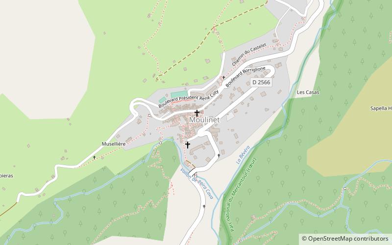
Moulinet is a commune in the Alpes-Maritimes department in southeastern France. ()
Provence-Alpes-Côte d'AzurFrance
Moulinet – popular in the area (distance from the attraction)
Nearby attractions include: Ouvrage Saint-Roch, Ouvrage L'Agaisen, Ouvrage Barbonnet, Sospel Cathedral.
 Museum
Ouvrage Saint-Roch, Sospel
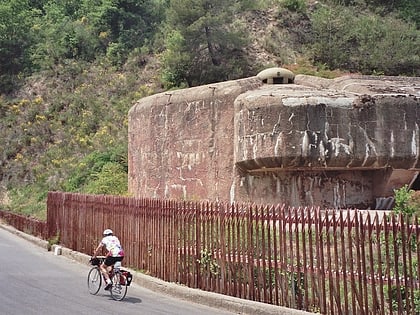
124 min walk • Ouvrage Saint-Roch is a work of the Maginot Line's Alpine extension, the Alpine Line, also known as the Little Maginot Line. Small for a gros ouvrages, the ouvrage consists of one entry block, one artillery block and two observation blocks overlooking Sospel at an altitude of 426 metres.
 Museum
Ouvrage L'Agaisen, Sospel
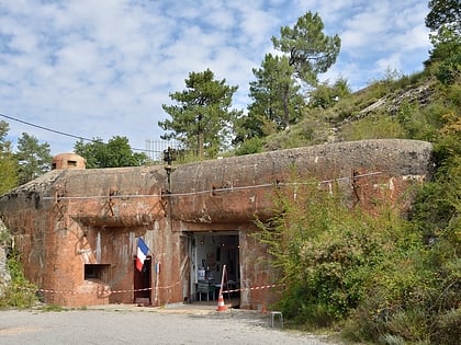
109 min walk • Ouvrage L'Agaisen is a work of the Maginot Line's Alpine extension, the Alpine Line, also known as the Little Maginot Line. The ouvrage consists of one entry block, two artillery blocks and one observation block above Sospel.
 Museum
Ouvrage Barbonnet
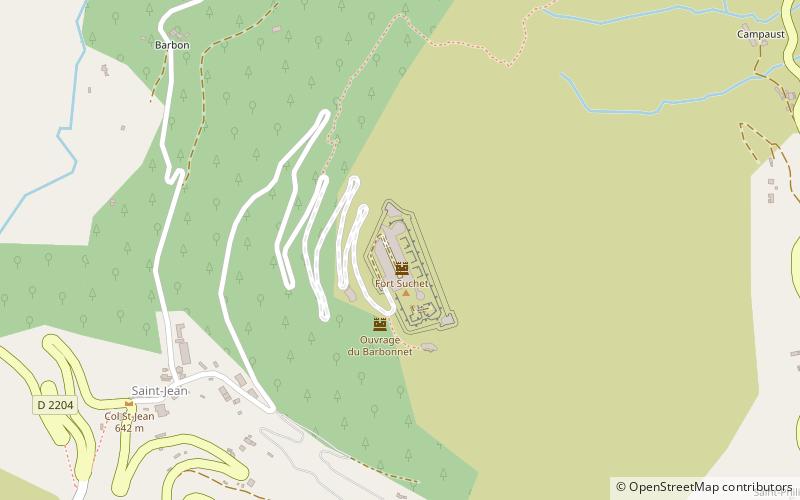
140 min walk • Ouvrage Barbonnet is a work of the Maginot Line's Alpine extension, the Alpine Line, also called the Little Maginot Line. The ouvrage consists of one entry block and one infantry block facing Italy.
 Church, Baroque architecture
Sospel Cathedral, Sospel
121 min walk • Sospel Cathedral is a Roman Catholic church and former cathedral in the town of Sospel, France.
 Nature, Natural attraction, Mountain
Col de Turini, Sospel
69 min walk • The Col de Turini is a high mountain pass in the Alps in the department of Alpes-Maritimes in France, situated entirely in the Arrondissement of Nice. The road connects Lantosque in the commune La Bollène-Vésubie, with Sospel in the commune Moulinet. It is the major road link between the river valley of the Vésubie and the Bévéra valley.
 Area
AreaBelvédère, Roquebillière
175 min walk • Belvédère is a commune in the Vésubie valley north of Nice in the Alpes-Maritimes department in southeastern France. The village of Belvédère is located at the entrance of the Gordolasque valley on the edge of the Mercantour National Park.
 Forts and castles
Château de Lucéram, Lucéram
120 min walk • The Château de Lucéram is a ruined castle, dating from the 12th and 13th centuries, in the commune of Lucéram in the Alpes-Maritimes département of France. The castle is the property of the commune. It has been listed since 1927 as a monument historique by the French Ministry of Culture.
 Church
Église Saint-Marc de Piène Haute
147 min walk • The Saint-Marc church is a catholic church located in Piène-Haute on the territory of the commune of Breil-sur-Roya, in France.
 Church
Église Santa-Maria-in-Albis, Breil-sur-Roya
129 min walk • Sancta-Maria-in-Albis Church, or Santa-Maria-in-Albis, Sainte-Marie-in-Albis, is a Catholic church located in Breil-sur-Roya, France.
 Church
Chapelle Notre-Dame-de-Bon-Coeur, Lucéram
121 min walk • The Notre-Dame-de-Bon-Coeur chapel is a Catholic chapel located in France in the commune of Lucéram, in the Alpes-Maritimes department in the Provence-Alpes-Côte d'Azur region.
 Museum
Écomusée du Haut-pays et des Transports
133 min walk • The Ecomuseum of the High Country and Transport is located in the former locomotive depot of Breil-sur-Roya, near the SNCF station, about 60 km north-east of Nice, in the Alpes-Maritimes department in the Provence-Alpes-Côte d'Azur region.
