Vercors Massif, La Chapelle-en-Vercors
Map
Gallery
Facts and practical information
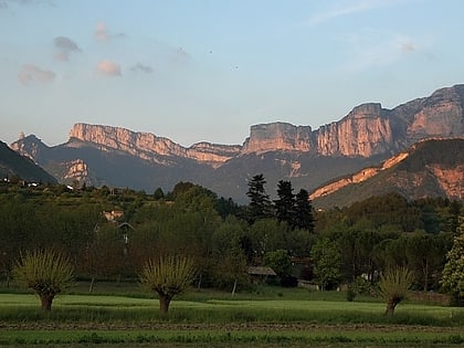
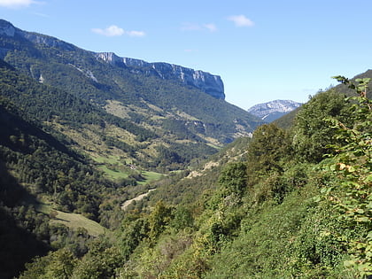
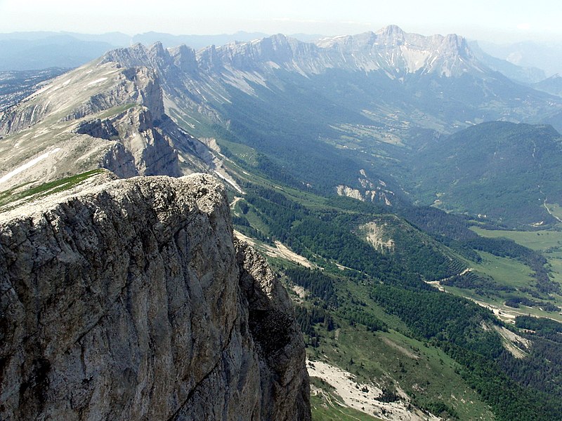
The Vercors Massif is a range in France consisting of rugged plateaux and mountains straddling the départements of Isère and Drôme in the French Prealps. It lies west of the Dauphiné Alps, from which it is separated by the rivers Drac and Isère. The cliffs at the massif's eastern limit face the city of Grenoble. ()
Local name: Massif du Vercors Area: 521.24 mi²Maximum elevation: 131234 ftCoordinates: 44°58'0"N, 5°25'0"E
Address
La Chapelle-en-Vercors
ContactAdd
Social media
Add
Day trips
Vercors Massif – popular in the area (distance from the attraction)
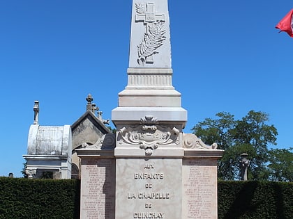
Nearby attractions include: Grands Goulets, Vassieux-en-Vercors, War Memorial, War Memorial.
