Trek Zone

Saint-Chamarand

#11990 among destinations in France

Locality
Saint-Chamarand location map
Map

Facts and practical information

Alternative names: Population: ~190 pplArea: 5.05 mi²Coordinates: 44°40'42"N, 1°27'39"E
Location

OccitanieFrance

ContactAdd
Social media
Add
Day trips

Saint-Chamarand – popular in the area (distance from the attraction)

Nearby attractions include: Château de Vaillac, Château de Clermont, St. Peter's Church, Grottes de Cougnac.

  • chateau de vaillac3.5 miE
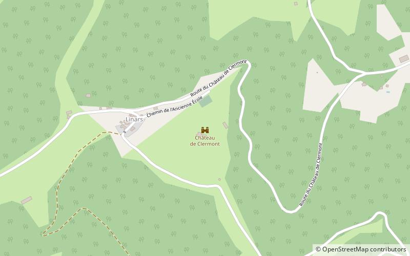
  • chateau de clermont location map
    3.2 miW
  • st peters church gourdon5.6 miNW
  • grottes de cougnac6.9 miNW
  • eglise notre dame des cordeliers gourdon5.5 miNW
  • church of our lady of the assumption le vigan4.5 miN
  • st martins church4.4 miE
  • st bartholomews church montfaucon5 miE
  • labastide murat5.7 miE
  • peyrilles4.6 miSW
  • payrignac7.6 miNW

Where to next? Visit occitanie Occitanie region page or discover the top tourist attractions in France.