Saint-Denis

Gallery (1)
Map
Map
Facts and practical information
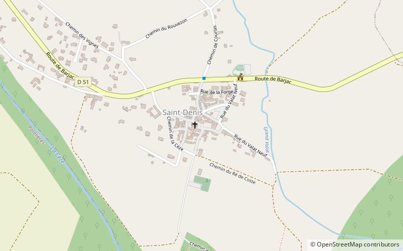
Saint-Denis is a commune in the Gard department in southern France. It is around 15 km north-east of Alès. ()
Location
Occitanie
ContactAdd
Social media
Add
Day trips
Saint-Denis is a commune in the Gard department in southern France. It is around 15 km north-east of Alès. ()
Occitanie
Where to next? Visit ![]() Occitanie region page or discover the top tourist attractions in France.
Occitanie region page or discover the top tourist attractions in France.


