Saint-Mammès
Map

Map

Facts and practical information
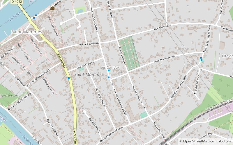
Saint-Mammès is a commune in the Seine-et-Marne department in the Île-de-France region in north-central France, in the metropolitan area of Paris. It is located 61 kilometres south-southeast of the centre of Paris, at the confluence of the Seine and Loing rivers. The Seine borders the northern boundaries of the city, while the Loing borders on the west. ()
Location
Île-de-France
ContactAdd
Social media
Add
Day trips
Saint-Mammès – popular in the area (distance from the attraction)
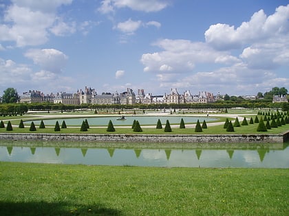
Nearby attractions include: Château de Fontainebleau, Château de By, Château de Bourron, Château de Moret.


