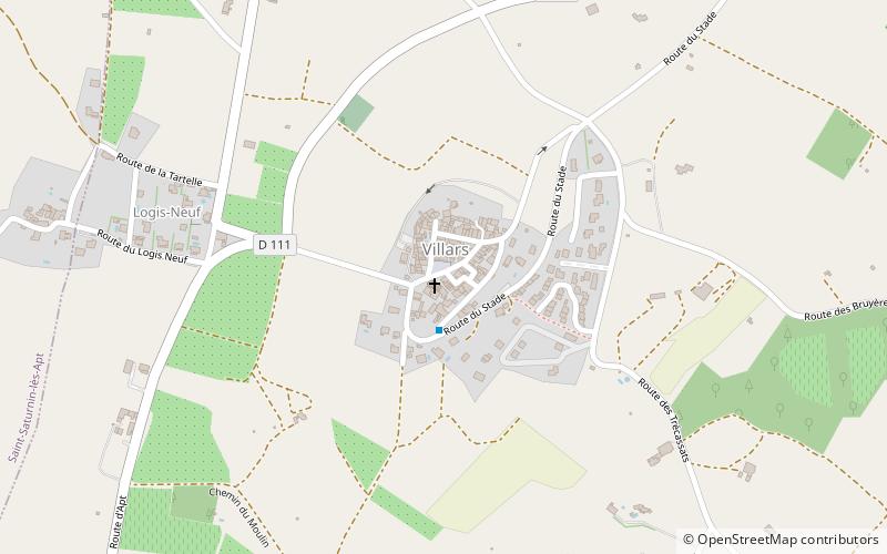
Villars, Luberon

Gallery (1)
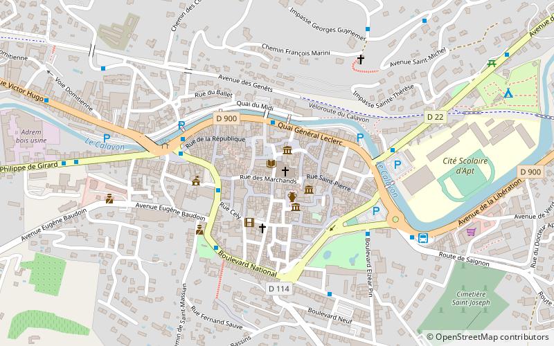
Map
Map
Facts and practical information
Villars is a commune in the Vaucluse department in the Provence-Alpes-Côte d'Azur region in southeastern France. ()
Address
Luberon
ContactAdd
Social media
Add
Getting there by public transportation
Public transportation stops near this location
- Bus
 Bus
Bus
- Calculate routeVillars - Lavoir 2 min walk
- Calculate routeMoulin à Huile 32 min walk
Day trips


Frequently Asked Questions (FAQ)
How to get to Villars by public transport?
The nearest stations to Villars:
Bus
Bus
- Villars - Lavoir • Lines: 109 (2 min walk)
- Moulin à Huile • Lines: 16 (32 min walk)