Île Seguin, Boulogne-Billancourt
Map
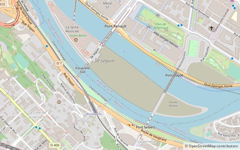
Map

Facts and practical information
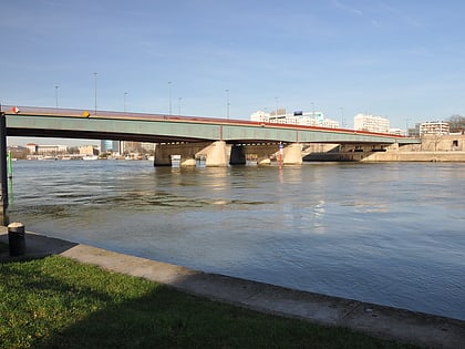
Île Seguin is an island on the Seine river between Boulogne-Billancourt and Sèvres, in the west suburbs of Paris, France. It has a surface area of approximately 11.5 hectares, and is positioned opposite Meudon, a short distance downstream from the Île Saint-Germain. Administratively Meudon and the island are included as part of Boulogne-Billancourt, on the river's right bank, rather than of Sèvres on the left bank. ()
Address
Boulogne-Billancourt (Billancourt - Rives de Seine)Boulogne-Billancourt
ContactAdd
Social media
Add
Day trips
Île Seguin – popular in the area (distance from the attraction)
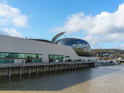
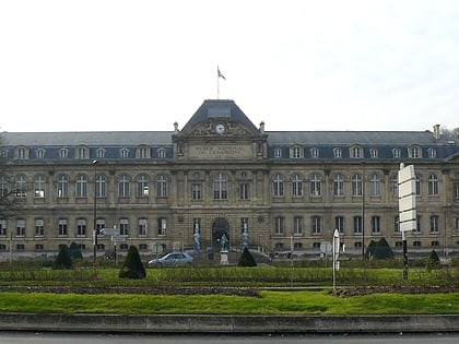
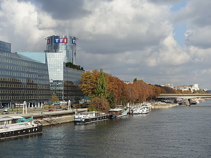
Nearby attractions include: Parc des Princes, La Seine Musicale, Sèvres – Cité de la céramique, TF1 Tower.
Frequently Asked Questions (FAQ)
Which popular attractions are close to Île Seguin?
Nearby attractions include La Seine Musicale, Boulogne-Billancourt (1 min walk), Pont de Sèvres, Paris (12 min walk), Sèvres – Cité de la céramique, Paris (15 min walk), Île Saint-Germain, Paris (21 min walk).
How to get to Île Seguin by public transport?
The nearest stations to Île Seguin:
Tram
Bus
Train
Metro
Tram
- Brimborion • Lines: T2 (4 min walk)
- Meudon-sur-Seine • Lines: T2 (11 min walk)
Bus
- Parc de Billancourt • Lines: 260, 389, 42 (7 min walk)
- Cours de l'Île Seguin • Lines: 260, 389, 42 (8 min walk)
Train
- Bellevue (10 min walk)
- Meudon (19 min walk)
Metro
- Pont de Sèvres • Lines: 9 (11 min walk)
- Billancourt • Lines: 9 (15 min walk)

