Canal de Bourbourg

Gallery (1)
Map
Map
Facts and practical information
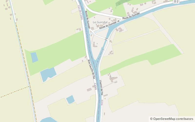
The Canal de Bourbourg is a 21 km long canal which connects the river Aa to the inner harbours of the port of Dunkerque in the Nord department, in northern France. For a short length in the middle it is part of the high-capacity waterway Liaison Dunkerque-Escaut. ()
Location
Hauts-de-France
ContactAdd
Social media
Add
Day trips


