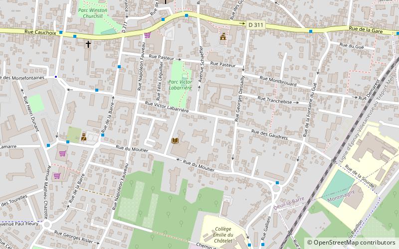
Deuil-la-Barre, Paris
Map

Map

Facts and practical information
Deuil-la-Barre is a commune in the northern suburbs of Paris, France. It is in the Department of Val d'Oise, the préfecture of Cergy-Pontoise and the sous-préfecture of Sarcelles. It is 13.7 km from the centre of Paris. Despite this proximity to the metropolis, Deuil has retained much of the charm of a country village, with orchards and wooded hillsides. ()
Day trips
Deuil-la-Barre – popular in the area (distance from the attraction)
Nearby attractions include: Enghien-les-Bains, Groslay, Montmorency, Soisy-sous-Montmorency.
Frequently Asked Questions (FAQ)
How to get to Deuil-la-Barre by public transport?
The nearest stations to Deuil-la-Barre:
Bus
Train
Tram
Light rail
Bus
- Place Jean Moulin • Lines: 337 (5 min walk)
- Marché de Deuil-la-Barre • Lines: 256, 356 (5 min walk)
Train
- Deuil - Montmagny (14 min walk)
- La Barre-Ormesson (17 min walk)
Tram
- Épinay - Villetaneuse • Lines: T11 (25 min walk)
- Villetaneuse - Université • Lines: T11, T8 (29 min walk)
Light rail
- Villetaneuse - Université • Lines: T11 (29 min walk)

 Metro
Metro


