Forêt de Brotonne
Map

Map

Facts and practical information
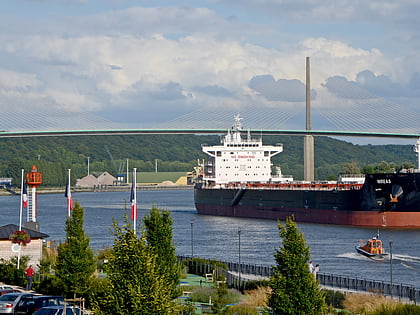
The forêt de Brotonne, in France, is situated to the west of Rouen in a vast meander of the Seine, accessible by the pont de Brotonne. It is a part of the Parc naturel régional des Boucles de la Seine normande, which allows for the safeguarding of a large natural space stretching from the banlieue of Rouen to the commune of Marais-Vernier. ()
Location
Normandy
ContactAdd
Social media
Add
Day trips
Forêt de Brotonne – popular in the area (distance from the attraction)
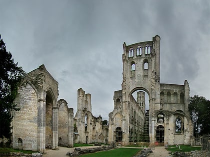
Nearby attractions include: Abbaye de Jumièges, Abbey of Saint Wandrille, Bourneville, Château d'Ételan.


