Garges-lès-Gonesse, Paris
Map

Map

Facts and practical information
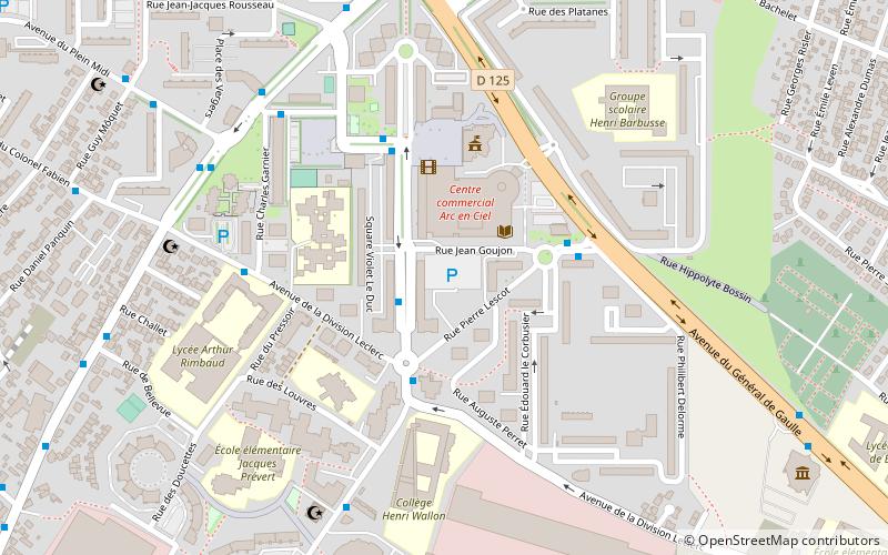
Garges-lès-Gonesse is a commune in the northern suburbs of Paris in the Val-d'Oise department in northern France. It is located 14.1 km from the center of Paris. The city is a part of the Paris urban area. It is the seat of the canton of Garges-lès-Gonesse, which also covers Arnouville. ()
Day trips
Garges-lès-Gonesse – popular in the area (distance from the attraction)
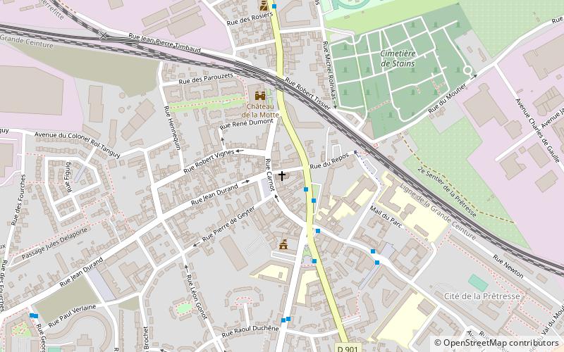
Nearby attractions include: Paroisse Notre Dame de l'Assomption, Dugny, Arnouville, Stains.
Frequently Asked Questions (FAQ)
How to get to Garges-lès-Gonesse by public transport?
The nearest stations to Garges-lès-Gonesse:
Bus
Train
Tram
Bus
- Maternelle Effel • Lines: 270 (2 min walk)
- Les Mûriers • Lines: 133, 31 (3 min walk)
Train
- Garges - Sarcelles (17 min walk)
- Stains - La Cerisaie (29 min walk)
Tram
- Garges - Sarcelles • Lines: T5 (17 min walk)
- Lochères • Lines: T5 (23 min walk)

 Metro
Metro


