Pont de Bornègre

Map
Facts and practical information
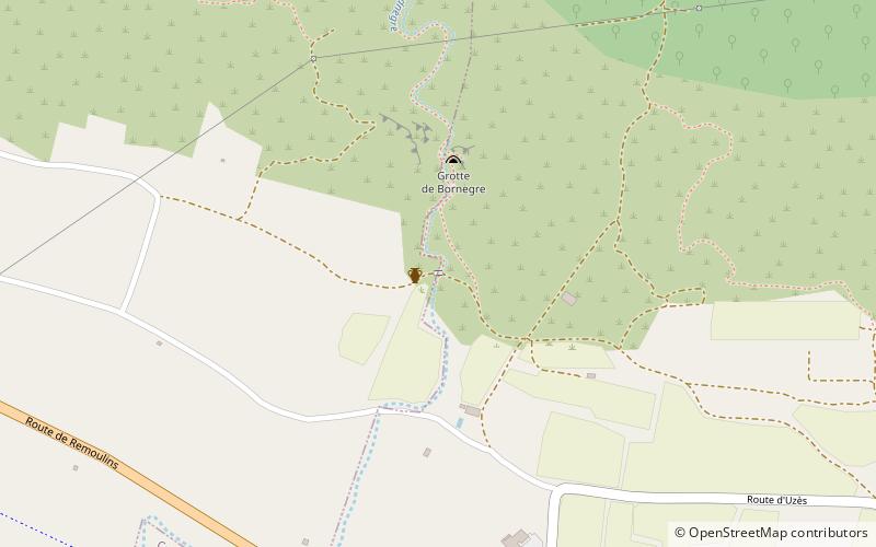
The Pont de Bornègre is an ancient bridge of the Roman aqueduct to Nîmes, which also includes the famous Pont du Gard, between the communes of Saint-Maximin, and Argilliers. It is located at the upper reaches of the approximately 50 km long aqueduct, 6,745 m downstream of the Eure source and 9,061 m upstream of the Pont du Gard. The structure bridges an intermittent torrent, the Bordnègre, with a catchment area of 0.6–0.8 km2 and, according to modern estimates, a maximum flood flow of 5 m3/s water. ()
Location
Occitanie
ContactAdd
Social media
Add
Day trips
Pont de Bornègre – popular in the area (distance from the attraction)
Nearby attractions include: Saint Stephen's Church, Uzès Cathedral, Pont du Gard, Galerie Deleuze-Rochetin.


