Fort de Port Man, Port-Cros
Map

Map

Facts and practical information
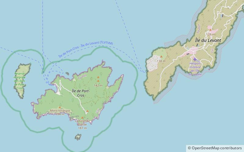
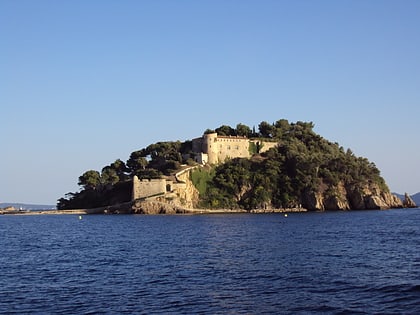
The fort of Port-Man is an old French military work located at the northeast point of the island of Port-Cros. Built in the 17th century, enlarged in the 18th century and disarmed in 1881, its restoration was entrusted by the State to a private individual in 2003.
Coordinates: 43°0'48"N, 6°25'12"E
Address
Port-Cros
ContactAdd
Social media
Add
Day trips
Fort de Port Man – popular in the area (distance from the attraction)
Nearby attractions include: Fort de Brégançon, Fort du Moulin, Levant Island, Port-Cros National Park.


