Mont Jalla, Grenoble
Map

Gallery

Facts and practical information
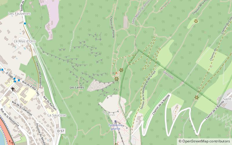
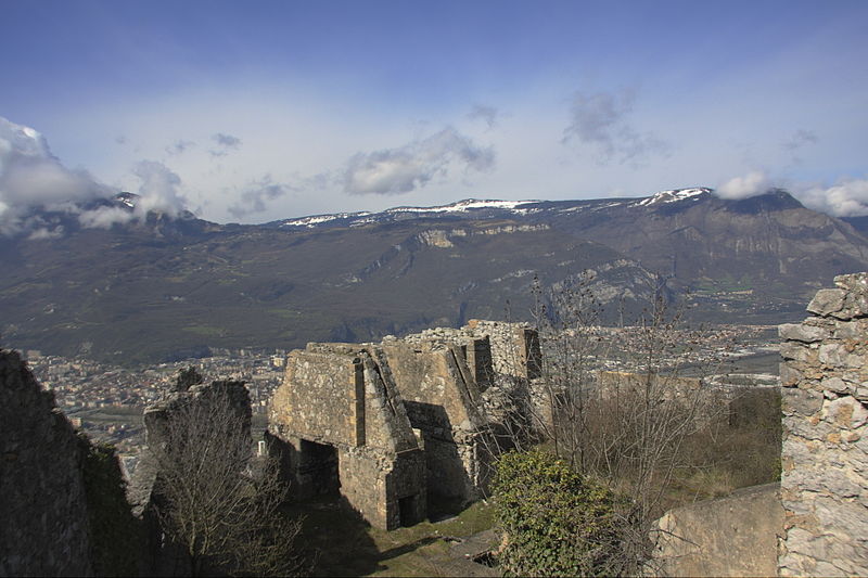
Mount Jalla, located in the commune of Saint-Martin-le-Vinoux, constitutes with the Bastille that it dominates the southern point of the Chartreuse massif overlooking the Grenoble agglomeration.
Coordinates: 45°12'14"N, 5°43'27"E
Address
Grenoble
ContactAdd
Social media
Add
Day trips
Mont Jalla – popular in the area (distance from the attraction)
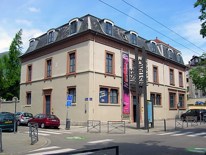
Nearby attractions include: Musée de Grenoble, Musée de la Résistance et de la Déportation à Grenoble, Bastille, Musée dauphinois.
Frequently Asked Questions (FAQ)
Which popular attractions are close to Mont Jalla?
Nearby attractions include Bastille, Grenoble (9 min walk), Saint-Martin-le-Vinoux, Grenoble (11 min walk), Casamaures, Grenoble (11 min walk), Grenoble Archaeological Museum, Grenoble (15 min walk).
How to get to Mont Jalla by public transport?
The nearest stations to Mont Jalla:
Bus
Aerialway
Tram
Train
Bus
- Place du Village • Lines: 56 (10 min walk)
- Les Fauvettes • Lines: 56 (10 min walk)
Aerialway
- Bastille • Lines: Téléphérique de la Bastille (20 min walk)
Tram
- Casamaures Village • Lines: E (13 min walk)
- Annie Fratellini - Esplanade • Lines: E (18 min walk)
Train
- Grenoble (26 min walk)


