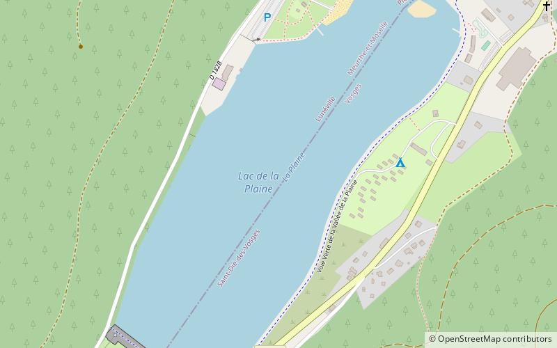
Lac de la Plaine
Map

Map

Facts and practical information
Lac de la Plaine is a lake on the border of the departments Meurthe-et-Moselle and Vosges, Grand Est, France. ()
Alternative names: Length: 3412 ftWidth: 984 ftElevation: 1004 ft a.s.l.Coordinates: 48°26'49"N, 6°56'6"E
Location
Grand Est
ContactAdd
Social media
Add
Day trips
Lac de la Plaine – popular in the area (distance from the attraction)
Nearby attractions include: Château de Pierre-Percée, Lac de Pierre-Percée, Second Château des Princes de Salm, Borne Vauthier Demarcation Stone.


