castell de Rodès, Rodès

Gallery (1)
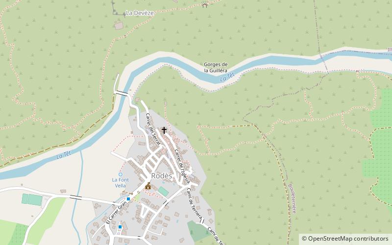
Map
Map
Facts and practical information
castell de Rodès is a place located in Rodès (Occitanie region) and belongs to the category of ruins.
It is situated at an altitude of 886 feet, and its geographical coordinates are 42°39'33"N latitude and 2°33'49"E longitude.
Among other places and attractions worth visiting in the area are: War Memorial (memorial, 7 min walk), Pont d'en Labau (ruins, 9 min walk), Église Saint-Pierre de Belloch (church, 25 min walk).
Coordinates: 42°39'33"N, 2°33'49"E
Address
Rodès
ContactAdd
Social media
Add
Day trips
castell de Rodès – popular in the area (distance from the attraction)
Nearby attractions include: Saint-Sulpice Church, Église Saint-Pierre de Belloch, Pont d'en Labau, War Memorial.


Frequently Asked Questions (FAQ)
Which popular attractions are close to castell de Rodès?
Nearby attractions include War Memorial, Rodès (7 min walk), Pont d'en Labau, Rodès (9 min walk).