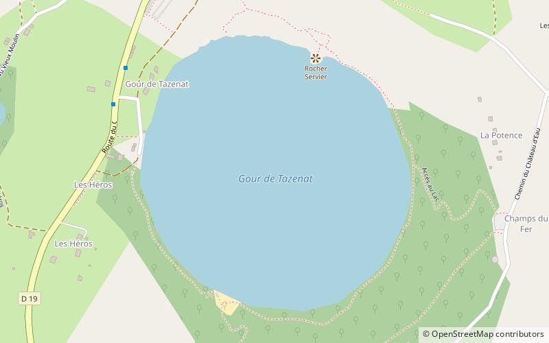
Gour de Tazenat
Map

Map

Facts and practical information
The Gour de Tazenat is a volcanic lake in the French department of Puy-de-Dôme. It was formed by a phreatomagmatic eruption about 29,000 years ago. ()
Alternative names: Area: 74.13 acres (0.1158 mi²)Elevation: 2077 ft a.s.l.Coordinates: 45°58'50"N, 2°59'27"E
Location
63410 Charbonnières-les-VieillesCharbonnières-les-Vieilles Auvergne-Rhône-Alpes
ContactAdd
Social media
Add
Day trips
Gour de Tazenat – popular in the area (distance from the attraction)
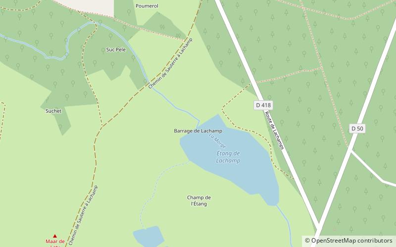
Nearby attractions include: Château de Chazeron, Étang de Lachamp, Parc Ecureuil, Fontaine Desaix.


