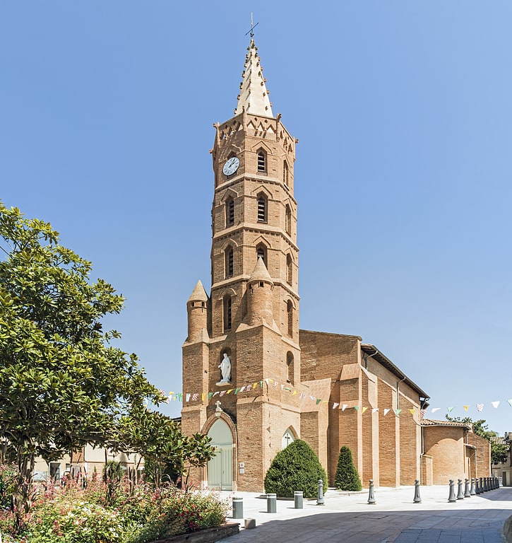
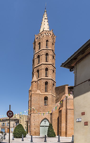
Saint-Pierre, Toulouse
Gallery (2)
Map
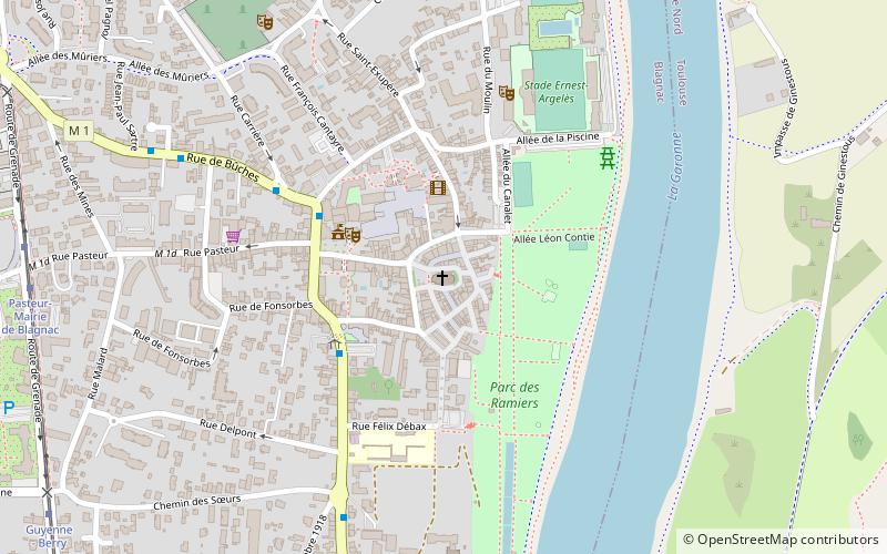
Map
Gallery
Facts and practical information
The Saint-Pierre church is a Catholic church located in Blagnac, France.
Coordinates: 43°38'3"N, 1°23'58"E
Address
Place de l'ÉgliseCentre BlagnacToulouse 31700
Contact
+33 5 61 71 10 91
Social media
Add
Getting there by public transportation
Public transportation stops near this location
- Bus
- Tram
 Bus
Bus
- Calculate routeCroix Blanche 4 min walk
- Calculate routeMairie Blagnac 5 min walk
- Calculate routeSœurs 7 min walk
- Calculate routeBûches 8 min walk
- Calculate routePasteur-Mairie de Blagnac 11 min walk
- Calculate routeGuyenne - Berry 12 min walk
- Calculate routePlace du Relais 13 min walk
- Calculate routeServanty Airbus 18 min walk
Day trips
Saint-Pierre – popular in the area (distance from the attraction)
Nearby attractions include: Stade Ernest-Wallon, Blagnac, Patinoire Jacques Raynaud, Stade Ernest-Argelès.


Frequently Asked Questions (FAQ)
How to get to Saint-Pierre by public transport?
The nearest stations to Saint-Pierre:
Bus
Tram
Bus
- Croix Blanche • Lines: 70 (4 min walk)
- Mairie Blagnac • Lines: 70 (5 min walk)
Tram
- Pasteur-Mairie de Blagnac • Lines: T1 (11 min walk)
- Guyenne - Berry • Lines: T1 (12 min walk)