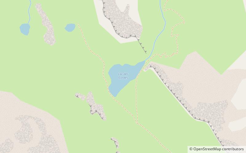
Lac des Cordes
Map

Map

Facts and practical information
Lac des Cordes is a lake in Hautes-Alpes, France. At an elevation of 2,446 metres, its surface area is 0.02 square kilometres. It is located close to the northern wall of the Pic de Rochebrune. ()
Alternative names: Area: 4.94 acres (0.0077 mi²)Length: 820 ftWidth: 394 ftElevation: 8031 ft a.s.l.Coordinates: 44°50'43"N, 6°47'22"E
Location
Provence-Alpes-Côte d'Azur
ContactAdd
Social media
Add
Day trips
Lac des Cordes – popular in the area (distance from the attraction)
Nearby attractions include: Ouvrage Gondran, Pic de Rochebrune, Fort de l'Infernet, Arvieux.


