Parc de Champagne, Reims
Map
Gallery
Facts and practical information
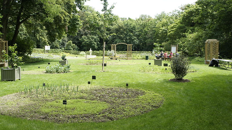
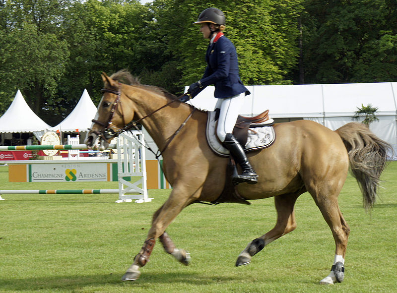
The Champagne Park is a landscaped area of the French town of Rheims, it was created by the Marquis de Polignac for the well-being of his staff working in the cellars but also to mark Rheims of his mark, it is located Avenue du General-Giraud.
Elevation: 381 ft a.s.l.Coordinates: 49°14'19"N, 4°3'17"E
Day trips
Parc de Champagne – popular in the area (distance from the attraction)
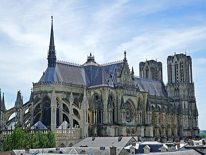
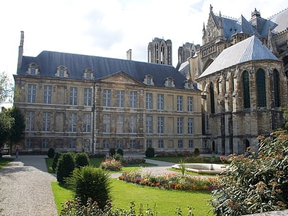
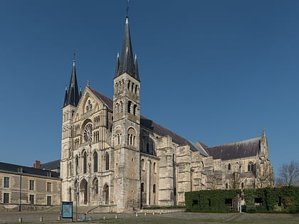
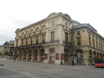
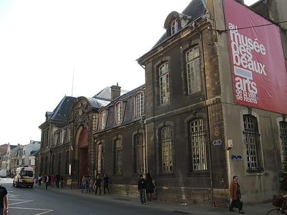
Nearby attractions include: Reims Cathedral, Palace of Tau, Abbey of Saint-Remi, Opera House.
Frequently Asked Questions (FAQ)
Which popular attractions are close to Parc de Champagne?
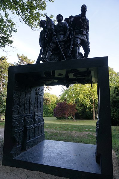
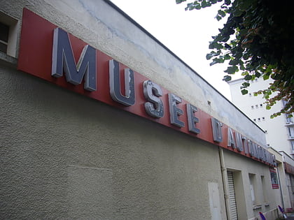
Nearby attractions include Monument to the Heroes of the Black Army, Reims (5 min walk), Église Saint-Nicaise, Reims (17 min walk), Abbey of Saint-Remi, Reims (17 min walk), Automobile Museum Reims-Champagne, Reims (22 min walk).
How to get to Parc de Champagne by public transport?
The nearest stations to Parc de Champagne:
Bus
Tram
Bus
- Parc • Lines: 11 (6 min walk)
- Bressy • Lines: 17, 6 (6 min walk)
Tram
- Opéra-Cathédrale • Lines: A, B (40 min walk)


