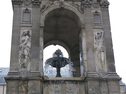
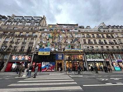
1st arrondissement of Paris, Paris
Map
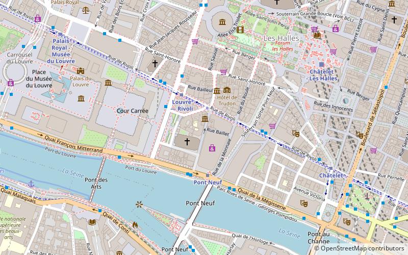
Map

Facts and practical information
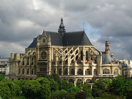
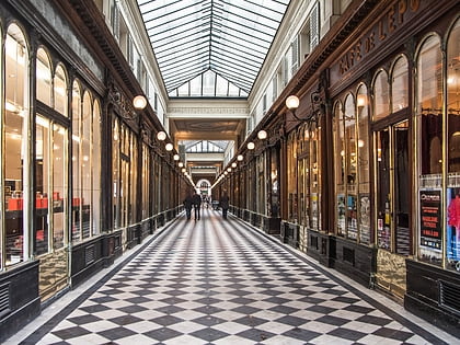
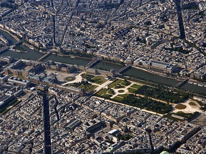
The 1st arrondissement of Paris is one of the 20 arrondissements of the capital city of France. In spoken French, this arrondissement is colloquially referred to as le premier. It is governed locally together with the 2nd, 3rd and 4th arrondissement, with which it forms the 1st sector of Paris. ()
Address
Louvre (Saint-Germain-l'Auxerrois)Paris
ContactAdd
Social media
Add
Day trips
1st arrondissement of Paris – popular in the area (distance from the attraction)
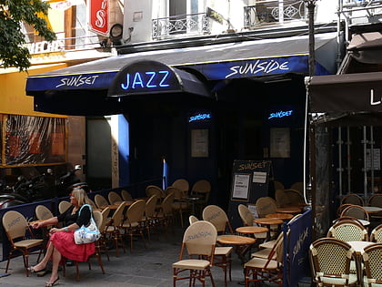
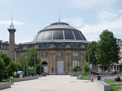
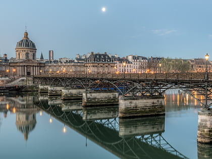
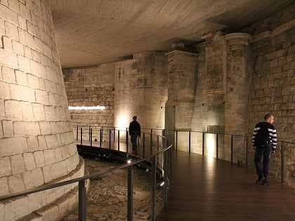
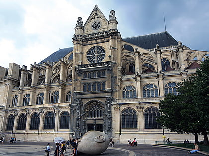
Nearby attractions include: Cour Carrée, Sunset Sunside, Bourse de commerce, Pont des Arts.
Frequently Asked Questions (FAQ)
Which popular attractions are close to 1st arrondissement of Paris?
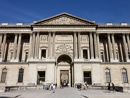
Nearby attractions include Saint-Germain l'Auxerrois, Paris (2 min walk), Place du Louvre, Paris (2 min walk), Pont Neuf, Paris (3 min walk), Louvre Colonnade, Paris (3 min walk).
How to get to 1st arrondissement of Paris by public transport?
The nearest stations to 1st arrondissement of Paris:
Metro
Bus
Train
Ferry
Metro
- Louvre — Rivoli • Lines: 1 (2 min walk)
- Pont Neuf • Lines: 7 (3 min walk)
Bus
- Louvre - Rivoli • Lines: 21, 67, 69, 72, 74, 85, N11, N15, N16, N24 (3 min walk)
- Pont Neuf - Quai du Louvre • Lines: 21, 27, 67, 69, 70, 72, 74, 85, N11, N15, N16, N24 (3 min walk)
Train
- Châtelet - Les Halles (7 min walk)
- Saint-Michel Notre-Dame (13 min walk)
Ferry
- Louvre • Lines: Batobus (13 min walk)
- Hôtel-de-Ville • Lines: Batobus (17 min walk)
 Metro
Metro
