Arbres et Paysages d’Autan, Ayguesvives

Gallery (1)
Map
Map
Facts and practical information
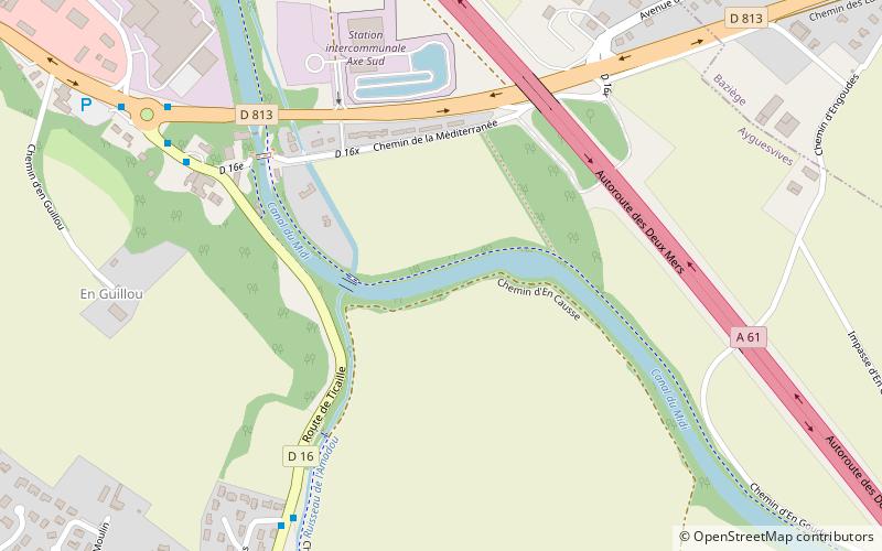
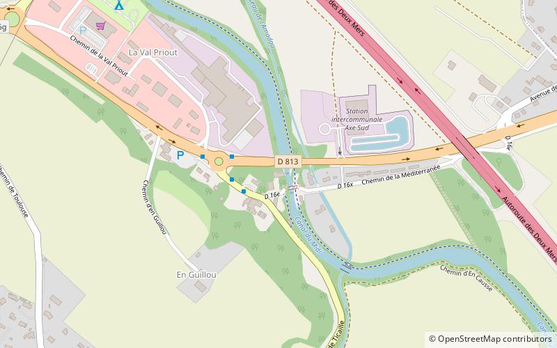
Arbres et Paysages d’Autan (address: 20 route de Ticaille) is a place located in Ayguesvives (Occitanie region) and belongs to the category of sightseeing.
It is situated at an altitude of 541 feet, and its geographical coordinates are 43°26'50"N latitude and 1°35'56"E longitude.
Among other places and attractions worth visiting in the area are: Ayguesvives Aqueduct (aqueduct, 7 min walk), Nostreseigne Aqueduct (aqueduct, 19 min walk), Encons Aqueduct (aqueduct, 36 min walk).
Coordinates: 43°26'50"N, 1°35'56"E
Day trips
Arbres et Paysages d’Autan – popular in the area (distance from the attraction)
Nearby attractions include: Ayguesvives Aqueduct, Nostreseigne Aqueduct, Encons Aqueduct, War Memorial.