Château de Sedières
Map

Map

Facts and practical information
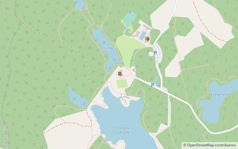
The castle of Sédières is a castle in the department of Corrèze, located in the commune of Clergoux of 130 hectares of forests, ponds and whitewater.
Classified as a historical monument on March 8, 1958, the castle was bought in 1965 by the General Council of Corrèze. A festival, the festival of Sédières, is organized there from June to September since 1974.
Coordinates: 45°17'30"N, 1°56'59"E
Location
New Aquitaine
ContactAdd
Social media
Add
Day trips
Château de Sedières – popular in the area (distance from the attraction)
Nearby attractions include: Château de Saint-Priest, Église Saint-Pardoux, Espagnac.


