Fort-les-Bains, Amélie-les-Bains-Palalda

Gallery (1)
Map
Map
Facts and practical information
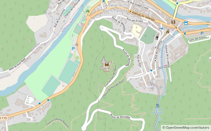
Fort-les-Bains is a French fort in the Pyrenees-Orientales built in 1670 on a hillock overlooking the confluence of the Tech and Montdony rivers and the town of Les Bains d'Arles, which it was intended to protect.
Coordinates: 42°28'15"N, 2°39'52"E
Address
Amélie-les-Bains-Palalda
ContactAdd
Social media
Add
Day trips