Château du Colombier, Salles-la-Source

Gallery (1)
Map
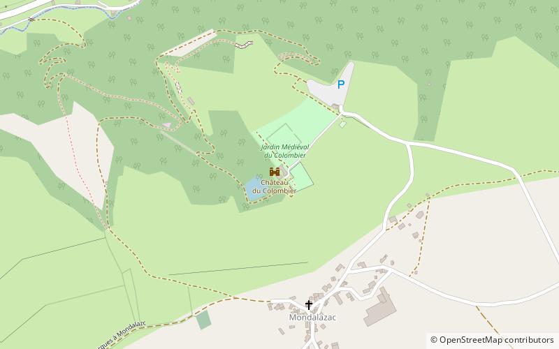
Map
Facts and practical information
The château du Colombier is a XIVth century residence, reworked in the XVth and XIXth centuries, which stands in the French commune of Salles-la-Source in the Aveyron department, in the Occitanie region.
The castle was registered as a historical monument by order of September 22, 1995.
Coordinates: 44°29'15"N, 2°31'47"E
Address
Salles-la-Source
ContactAdd
Social media
Add
Day trips