Fortifications of Vitré, Vitré
Map

Gallery

Facts and practical information
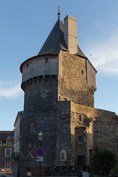
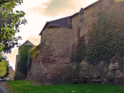
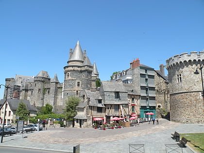
The ramparts of Vitré are the fortifications built between the 13th and 17th centuries to protect the town of Vitré and Brittany against the French Kingdom. The city was located near the Breton border, near Maine, Anjou and Normandy. They cover an area of 8 hectares with a length of 500 m long and 200 m width. The fortifications of the thirteenth century are the best preserved in Brittany. ()
Local name: Remparts de Vitré Built: 1220 (806 years ago)Architectural style: Medieval architectureCoordinates: 48°7'60"N, 1°12'0"W
Address
Vitré
ContactAdd
Social media
Add
Day trips
Fortifications of Vitré – popular in the area (distance from the attraction)
Nearby attractions include: Château de Vitré, Church of Our Lady, Jardin du parc, Porte d'Embas.
Frequently Asked Questions (FAQ)
Which popular attractions are close to Fortifications of Vitré?
Nearby attractions include St. Martin's Church, Vitré (19 min walk), Tour de la Bridolle, Vitré (20 min walk), Church of Our Lady, Vitré (21 min walk).
How to get to Fortifications of Vitré by public transport?
The nearest stations to Fortifications of Vitré:
Bus
Train
Bus
- Aurore • Lines: C (17 min walk)
- Douves • Lines: A (17 min walk)
Train
- Vitré (24 min walk)


