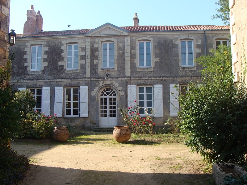
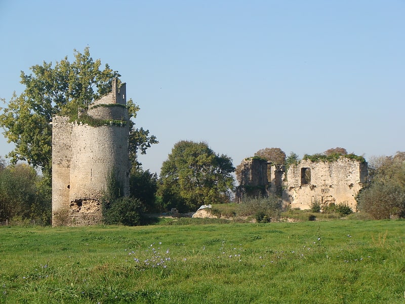
Château de Gilles de Retz, Machecoul
Gallery (1)
Map
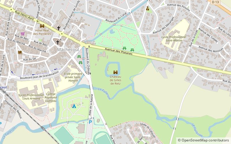
Map
Facts and practical information
The castle of Machecoul is an ancient fortress, now ruined, whose remains stand in the French town of Machecoul in the department of Loire-Atlantique, in the region Pays de la Loire. The castle is also called "castle of Gilles de Rais" and, wrongly, "castle of Bluebeard".
Coordinates: 46°59'28"N, 1°48'50"W
Address
Machecoul
ContactAdd
Social media
Add
Day trips
Château de Gilles de Retz – popular in the area (distance from the attraction)
Nearby attractions include: Hôtel Réal des Perrières, Bois-de-Céné, Fresnay-en-Retz.