Château de Thévalles

Gallery (2)
Map
Map
Gallery
Facts and practical information
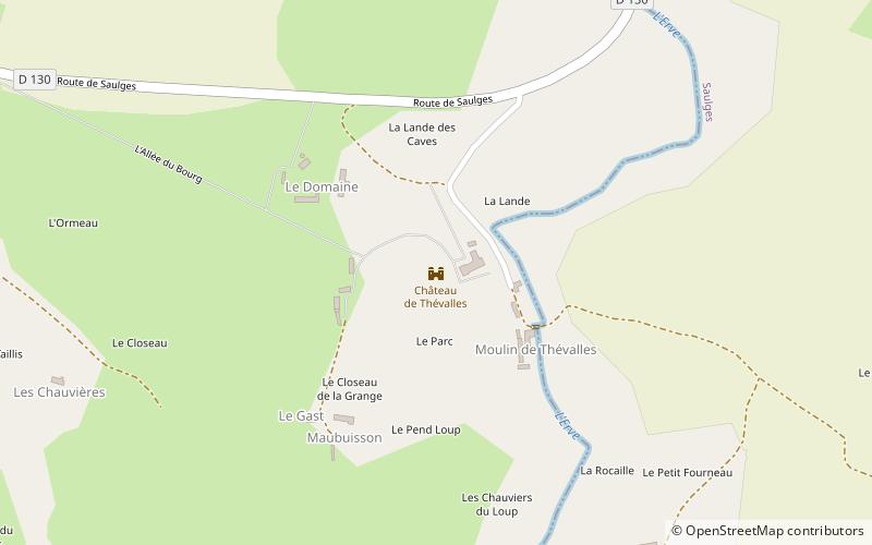
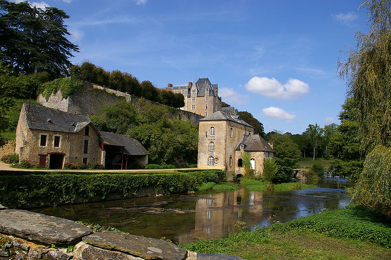
The castle of Thévalles is located in Cheméré-le-Roi in the department of Mayenne, at 1 500 m from the town, above the Erve river. It dominates the course of the Erve and its valley from the top of a sheer rock as well as the mill of Thévalles, rebuilt in 1850, located below the castle.
Coordinates: 47°58'14"N, 0°25'8"W
Location
Pays de la Loire
ContactAdd
Social media
Add
Day trips


