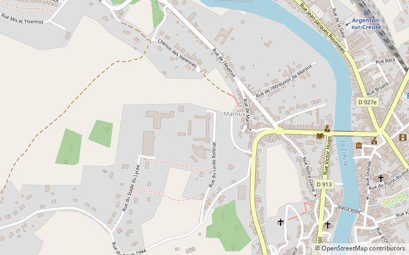
Lycée Rollinat, Argenton-sur-Creuse
Map

Map

Facts and practical information
The Rollinat high school is a high school in Argenton-sur-Creuse in Indre.
Coordinates: 46°35'20"N, 1°30'42"E
Address
Argenton-sur-Creuse
ContactAdd
Social media
Add
Day trips
Lycée Rollinat – popular in the area (distance from the attraction)
Nearby attractions include: Argentomagus, Église Saint-Gaultier, Church of Our Lady, St. John the Baptist Church.
Frequently Asked Questions (FAQ)
Which popular attractions are close to Lycée Rollinat?
Nearby attractions include Chapelle Saint-Benoît, Argenton-sur-Creuse (8 min walk), War Memorial, Argenton-sur-Creuse (10 min walk), Argentomagus, Saint-Marcel (20 min walk).


