Église paléochrétienne, Bonnal

Gallery (2)
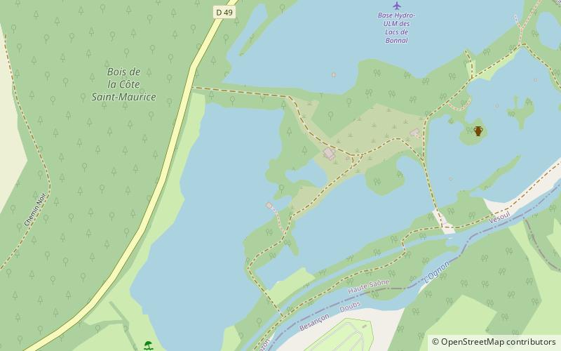
Map
Map
Gallery
Facts and practical information
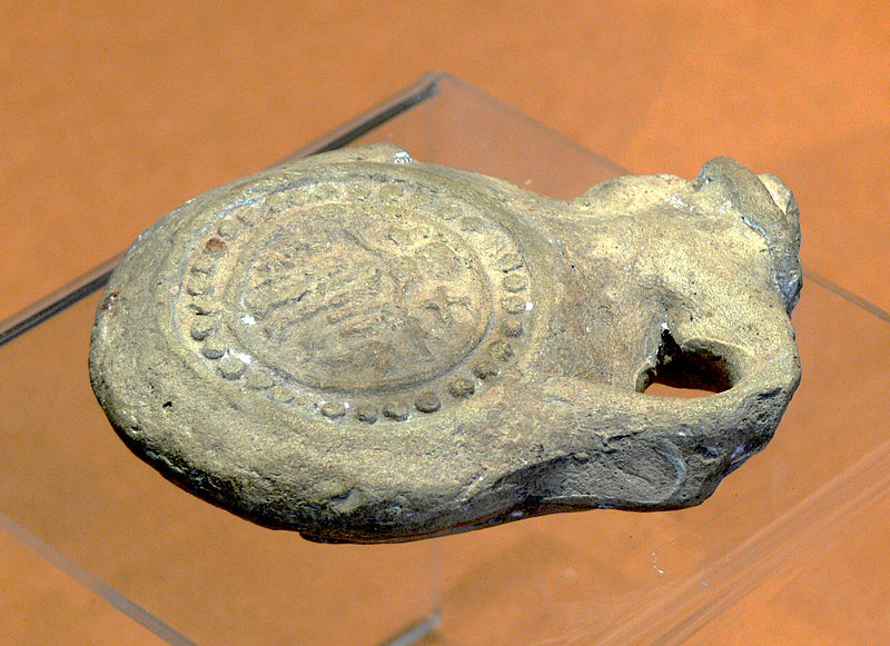
The paleochristian church of Chassey-lès-Montbozon is an ancient religious building located in Chassey-lès-Montbozon, in the Haute-Saône.
Certainly dating from the 6th century, the church was in use until the 11th century. It was the religious center of an important local community. Excavations have revealed a large Merovingian necropolis in and around the church.
Coordinates: 47°30'52"N, 6°21'38"E
Address
Bonnal
ContactAdd
Social media
Add
Day trips


