Lac de Nantua
Map

Map

Facts and practical information
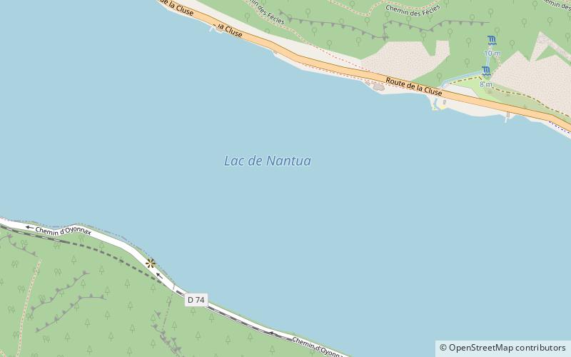
Lac de Nantua is a glacial lake in the southern foothills of the Jura Mountains, located between Nantua, Montréal-la-Cluse and Port in the department of Ain, France. It covers 141 hectares. The lake was made a protected natural site in 1935. ()
Alternative names: Area: 0.54 mi²Length: 8858 ftWidth: 2133 ftAverage depth: 141 ftElevation: 1552 ft a.s.l.Coordinates: 46°9'41"N, 5°35'17"E
Location
Auvergne-Rhône-Alpes
ContactAdd
Social media
Add
Day trips
Lac de Nantua – popular in the area (distance from the attraction)
Nearby attractions include: Lac Genin, Lac de Sylans, City Hall, War Memorial.


