Refuge de la Charpoua

Gallery (1)
Map
Map
Facts and practical information
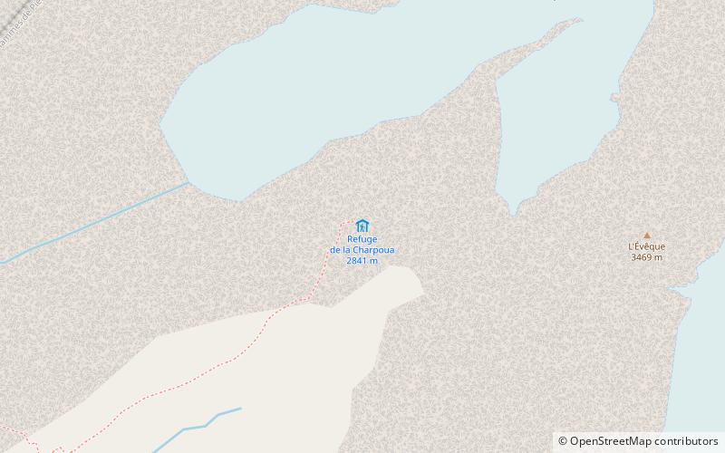
The Charpoua hut or Charlet hut is a hut on the French side of the Mont-Blanc massif, at the foot of the Drus. Built in 1904 by what was then the Club des sports alpins de Chamonix, it has only one room, is more like a hut and can accommodate only 12 people.
Coordinates: 45°55'27"N, 6°57'19"E
Location
Auvergne-Rhône-Alpes
ContactAdd
Social media
Add
Day trips


