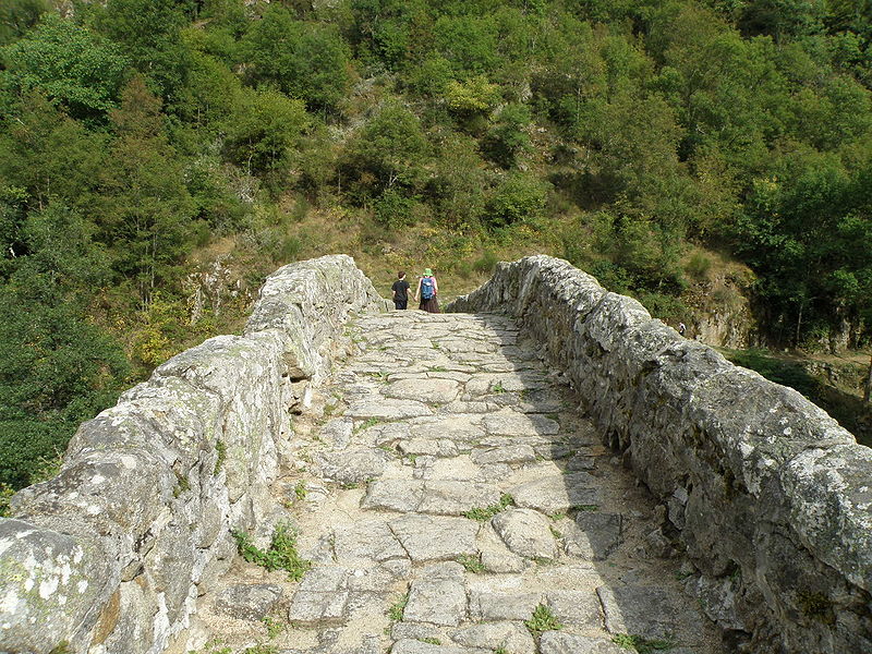
Pont du Diable

Gallery (2)
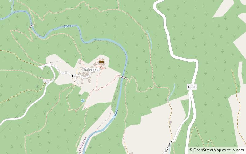
Map
Map
Gallery
Facts and practical information
The Devil's Bridge is an arched bridge that spans the Ance River below the medieval town of Chalencon, in the Haute-Loire. The river here forms the boundary between the communes of Saint-André-de-Chalencon and Tiranges.
Coordinates: 45°16'60"N, 3°59'5"E
Location
Auvergne-Rhône-Alpes
ContactAdd
Social media
Add
Day trips


