Jean-Adret Stadium, Rouen
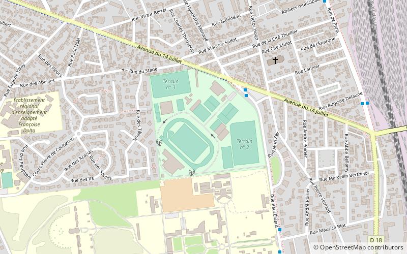
Map
Facts and practical information
The Jean-Adret Stadium is the main Stadium for athletics in the Rouen area. It is the stadium for the resident club Stadium Sottevillais 76. ()
Address
Rouen
ContactAdd
Social media
Add
Getting there by public transportation
Public transportation stops near this location
- Bus
- Tram
- Train
 Bus
Bus
- Calculate routeStade Jean Adret 3 min walk
- Calculate routeÉcole Kerville 7 min walk
- Calculate routeRiot 7 min walk
- Calculate routePlace de Gaulle 11 min walk
- Calculate routeJean Zay 14 min walk
- Calculate route14 Juillet 17 min walk
- Calculate routeHôtel de ville de Sotteville 18 min walk
- Calculate routeToit Familial 18 min walk
- Calculate routeSotteville 16 min walk
Day trips


Frequently Asked Questions (FAQ)
Which popular attractions are close to Jean-Adret Stadium?
Nearby attractions include Sotteville-lès-Rouen, Rouen (11 min walk), Atelier 231, Rouen (23 min walk).
How to get to Jean-Adret Stadium by public transport?
The nearest stations to Jean-Adret Stadium:
Bus
Tram
Train
Bus
- Stade Jean Adret • Lines: F3 (3 min walk)
- École Kerville • Lines: F3 (7 min walk)
Tram
- Jean Zay • Lines: M (14 min walk)
- 14 Juillet • Lines: M (17 min walk)
Train
- Sotteville (16 min walk)