Wasenkoepfel, Oberbronn

Map
Facts and practical information
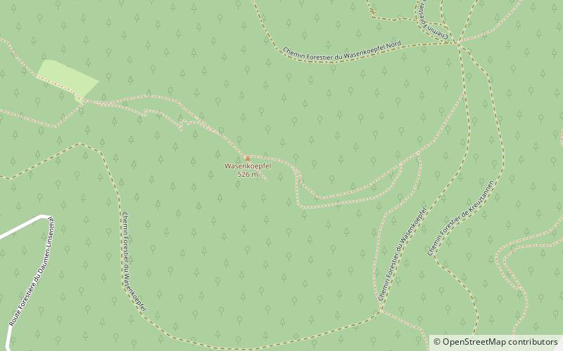
The Wasenkoepfel is a hill northwest of Oberbronn in the Lower Alsace in the French Vosges. It is the highest point of the southern Wasgau, a Franco-German, cross-border region that comprises the southern part of the Palatinate Forest and the northern part of the Vosges. ()
Coordinates: 48°56'48"N, 7°35'60"E
Address
Oberbronn
ContactAdd
Social media
Add
Day trips
Wasenkoepfel – popular in the area (distance from the attraction)
Nearby attractions include: Château de Lichtenberg, Wasenbourg, Grand Wintersberg, Château du Vieux-Windstein.


