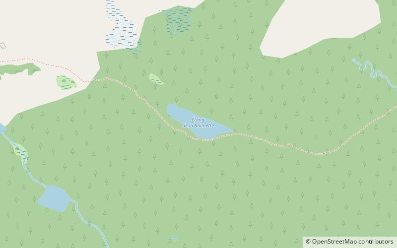
Estany de la Balmeta

Gallery (1)
Map
Map
Facts and practical information
Estany de la Balmeta is a lake in Pyrénées-Orientales, France. At an elevation of 2,047 metres, its surface area is 0.012 square kilometres. ()
Alternative names: Area: 2.97 acres (0.0046 mi²)Elevation: 6788 ft a.s.l.Coordinates: 42°35'16"N, 2°1'18"E
Location
Occitanie
ContactAdd
Social media
Add
Day trips