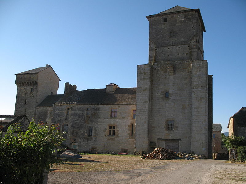
Château de Galinières

Gallery (3)
Map
Map
Gallery
Facts and practical information
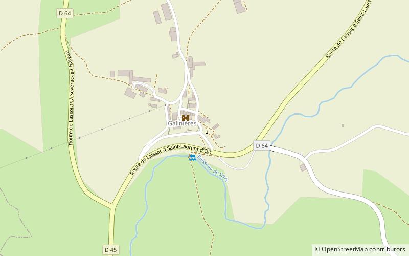
The castle of Galinières is a fortified barn located on the commune of Pierrefiche in Aveyron. It dominates the meandering valley of the Serre.
Coordinates: 44°25'22"N, 2°54'9"E
Location
Occitanie
ContactAdd
Social media
Add
Day trips


