Lac de Montbel

Gallery (1)
Map
Map
Facts and practical information
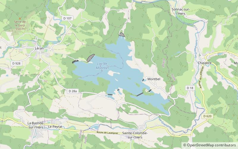
The Lac de Montbel is a reservoir 5 minutes from Chalabre, which is a popular location for watersports and swimming. It is located at Sainte-Colombe-sur-l'Hers on the border between the Ariège and Aude départements of southwestern France. ()
Alternative names: Area: 2.12 mi²Maximum depth: 138 ftElevation: 1296 ft a.s.l.Coordinates: 42°58'40"N, 1°57'25"E
Location
Occitanie
ContactAdd
Social media
Add
Day trips


