Fort de Bouc, Port-de-Bouc
Map

Map

Facts and practical information
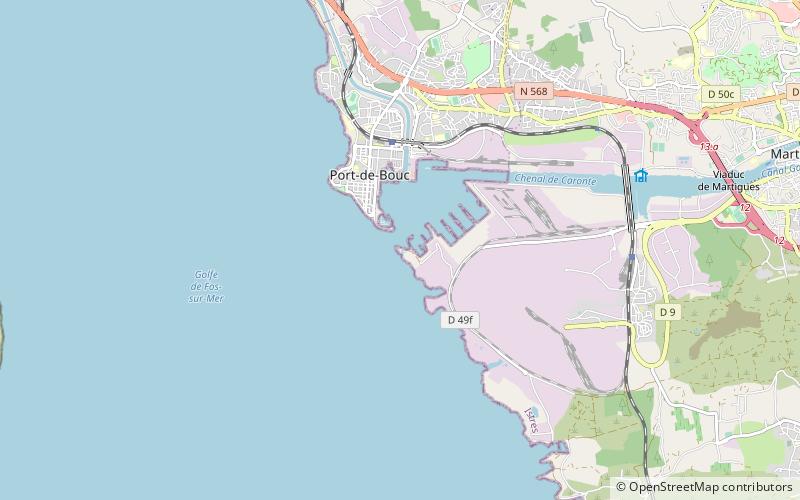
The lighthouse of the fort of Bouc is built on the tower of the fort of Bouc, located on the islet of Bouc, at the entrance of the canal of Caronte connecting the Mediterranean Sea and the pond of Berre, in the department of Bouches-du-Rhône, in the South of France. It has been listed as a historical monument since 1930 and was recently restored. It marks the entrance to the oil port of Lavéra, in the Gulf of Fos-sur-Mer.
Coordinates: 43°23'37"N, 4°59'9"E
Address
Port-de-Bouc
ContactAdd
Social media
Add
Day trips
Fort de Bouc – popular in the area (distance from the attraction)
Nearby attractions include: St. Magdalene Church, Canal de Marseille au Rhône, Médiathèque Louis Aragon, Fos-sur-Mer.


