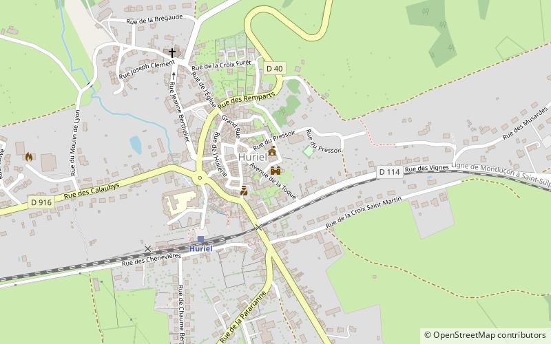
Ancien château fort dit La Toque, Huriel
Map

Map

Facts and practical information
The donjon de la Toque is, with its enclosure, the last vestige of the castle of Huriel. This lordly tower, built in the 12th century, stands in the commune of Huriel.
Coordinates: 46°22'23"N, 2°28'43"E
Day trips
Ancien château fort dit La Toque – popular in the area (distance from the attraction)
Nearby attractions include: La Chapelaude, Church of Our Lady, Château de Bien-Assis, Saint-Victor.


