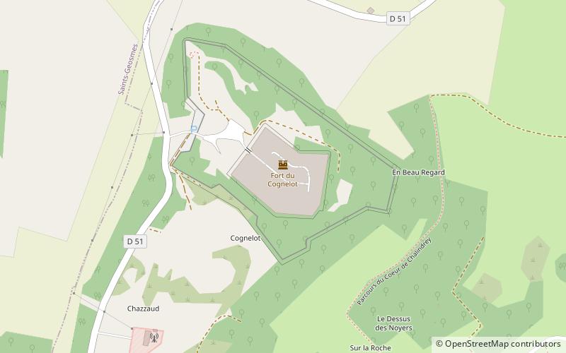
Fort du Cognelot
Map

Map

Facts and practical information
The fort of Cognelot, also called locally fort of Chalindrey and briefly fort Vercingétorix, is a work which is part of the fortifications of the East of France of the Séré de Rivières type. It is located at the top of the Cognelot mountain, at an altitude of 470 meters, south-east of the town of Chalindrey.
Coordinates: 47°48'25"N, 5°24'21"E
Location
Grand Est
ContactAdd
Social media
Add
Day trips
Fort du Cognelot – popular in the area (distance from the attraction)
Nearby attractions include: Langres Cathedral, Denis Diderot House of Enlightenment, Lac de Villegusien, Tours de Navarre et d'Orval.


