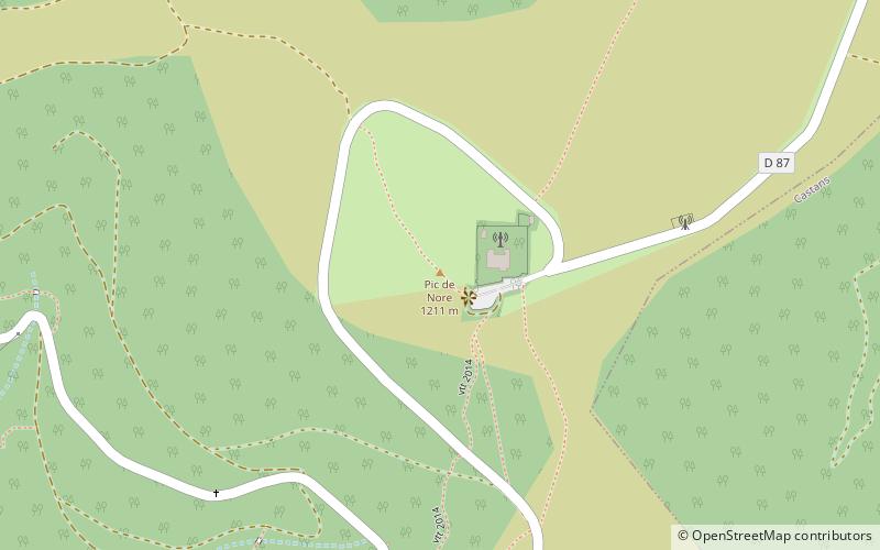
Pic de Nore, Pradelles-Cabardès
Map

Map

Facts and practical information
The pic de Nore at 1,211 metres is the highest point in the Montagne Noire, on the border of the Aude and Tarn departments, near to the Parc naturel régional du Haut-Languedoc in southern France. The Arnette and Clamoux rivers both have their sources on the slopes. ()
Address
Pradelles-Cabardès
ContactAdd
Social media
Add
Day trips
Pic de Nore – popular in the area (distance from the attraction)
Nearby attractions include: Bout-du-Pont-de-Larn, Maison du bois et du jeu, Musée du Catharisme, Château.


