Mosquée Al-Fath, Besançon
Map

Map

Facts and practical information
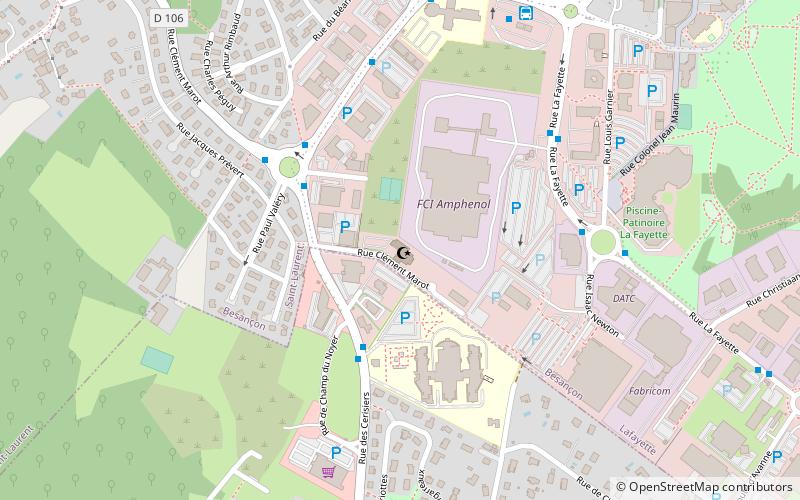
The Al-Fath mosque is a building serving as a Sunni Muslim place of worship and housing a cultural association, located in the Planoise district of Besançon, Doubs.
Coordinates: 47°12'50"N, 5°57'50"E
Address
Planoise - Châteaufarine (Lafayette)Besançon
ContactAdd
Social media
Add
Day trips
Mosquée Al-Fath – popular in the area (distance from the attraction)
Nearby attractions include: Fort de Planoise, Francis of Assisi Church, Planoise, St. Vincent Church.
Frequently Asked Questions (FAQ)
Which popular attractions are close to Mosquée Al-Fath?
Nearby attractions include Planoise, Besançon (14 min walk), St. Vincent Church, Avanne-Aveney (23 min walk), Francis of Assisi Church, Besançon (24 min walk).
How to get to Mosquée Al-Fath by public transport?
The nearest stations to Mosquée Al-Fath:
Bus
Tram
Bus
- Maison de Retraite • Lines: 22, 52 (3 min walk)
- Valéry • Lines: 22, 52 (3 min walk)
Tram
- Île-de-France • Lines: T1, T2 (15 min walk)
- Allende • Lines: T1, T2 (16 min walk)


