Parc Blondlot, Nancy
Map
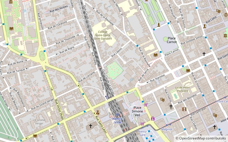
Map

Facts and practical information
Blondlot Park is a public garden in downtown Nancy, with an area of 5,800 m2. Initially privately owned, the site has belonged to the city of Nancy since 1932.
Area: 143.32 acres (0.2239 mi²)Elevation: 705 ft a.s.l.Coordinates: 48°41'31"N, 6°10'25"E
Address
Léopold - Ville Vieille (Cours Léopold)Nancy
ContactAdd
Social media
Add
Day trips
Parc Blondlot – popular in the area (distance from the attraction)
Nearby attractions include: Museum of Fine Arts, Place Stanislas, Musée Lorrain, Nancy Cathedral.
Frequently Asked Questions (FAQ)
Which popular attractions are close to Parc Blondlot?
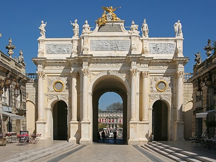
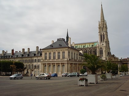
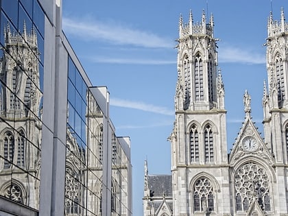
Nearby attractions include Porte Stanislas, Nancy (3 min walk), Salle Poirel, Nancy (5 min walk), Église Saint-Léon IX, Nancy (6 min walk), Obélisque de Nancy, Nancy (6 min walk).
How to get to Parc Blondlot by public transport?
The nearest stations to Parc Blondlot:
Bus
Train
Tram
Bus
- Tour Thiers Gare • Lines: 10, 11, Corol 2, Tempo 2, Tempo 3, Tempo 4 (3 min walk)
- Faculté de Droit • Lines: Citadine 1 (4 min walk)
Train
- Nancy-Ville (4 min walk)
Tram
- Nancy Gare • Lines: T1 (6 min walk)
- Maginot • Lines: T1 (7 min walk)

